Screenshot appears after consentScreenshot appears after consentScreenshot appears after consentScreenshot appears after consent
Summary
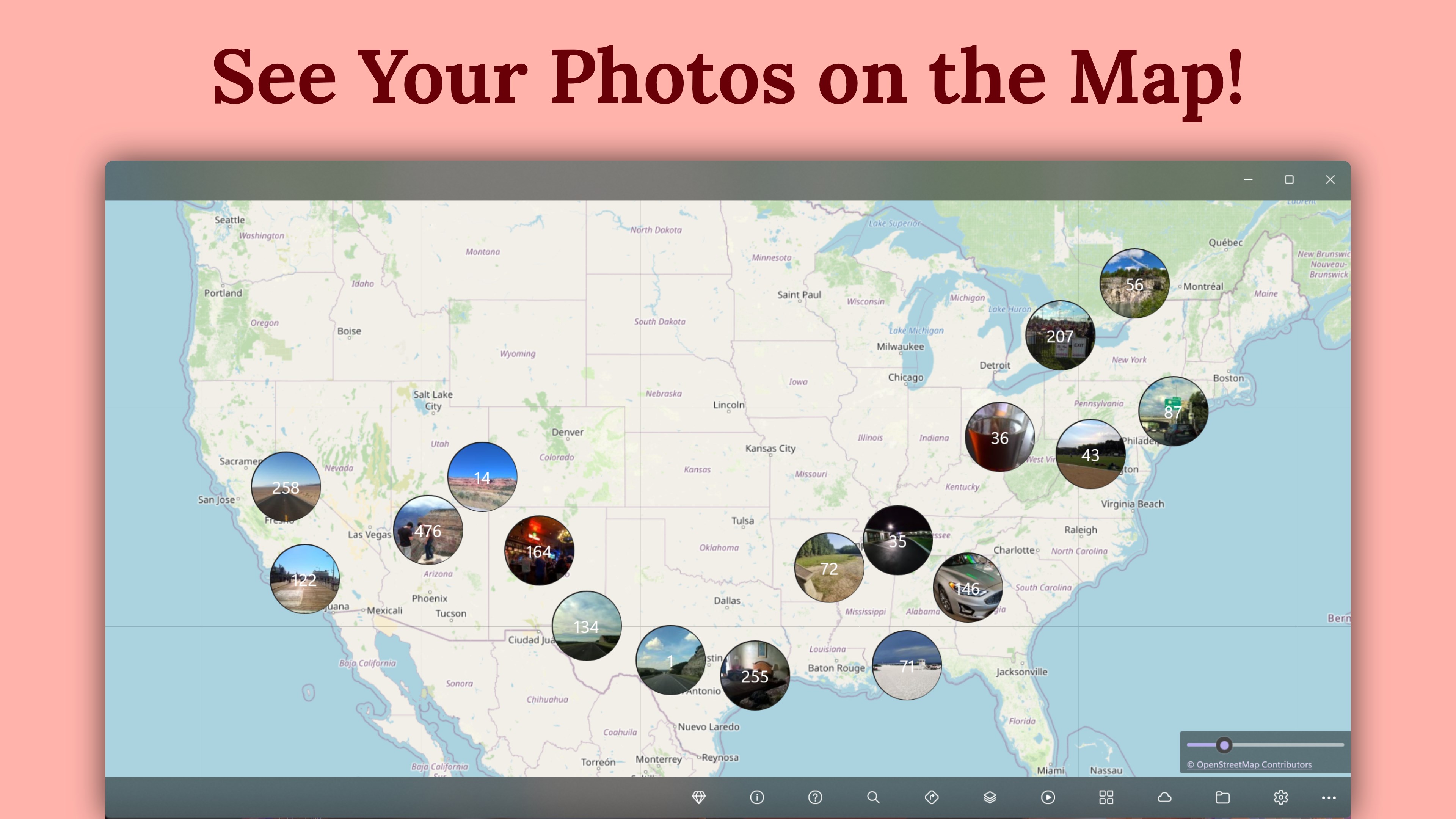
GeoPhoto - Photo Map & GPS Geotagging is a photo mapping app that shows where photos and videos were taken and lets users fix missing or incorrect GPS data directly on a map. It displays geotagged media from selected folders or OneDrive on an interactive world map and finds files lacking location data. GPS positions can be added, edited, or removed by placing media on the map, entering coordinates, or reusing previous locations, with metadata written through ExifTool. For larger collections, it imports GPX, KML, and KMZ track files and geotags photos and videos by matching timestamps, with location data exportable as GPX.
Show the developer's original descriptionHide the original description
See where your photos and videos were captured, spot missing locations, and fix GPS geotags with a visual map workflow. GeoPhoto turns selected folders and OneDrive folders into an interactive photo map for travel memories, camera imports, drone and action-cam footage, field documentation, and photo archives.
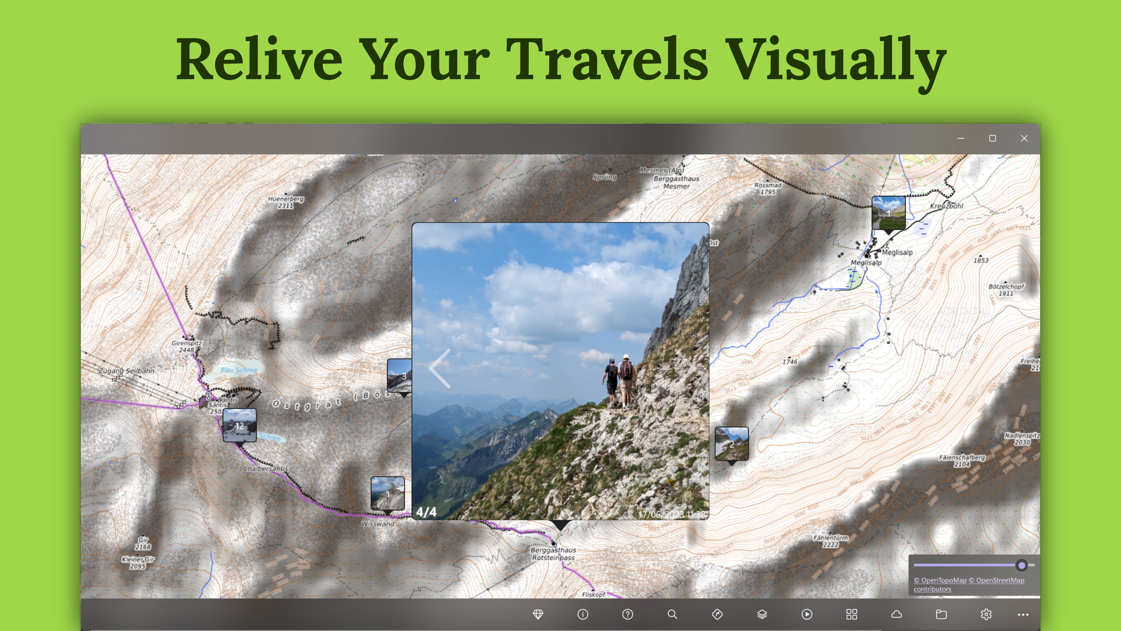
Map your media by place
• View geotagged photos and videos on a world map
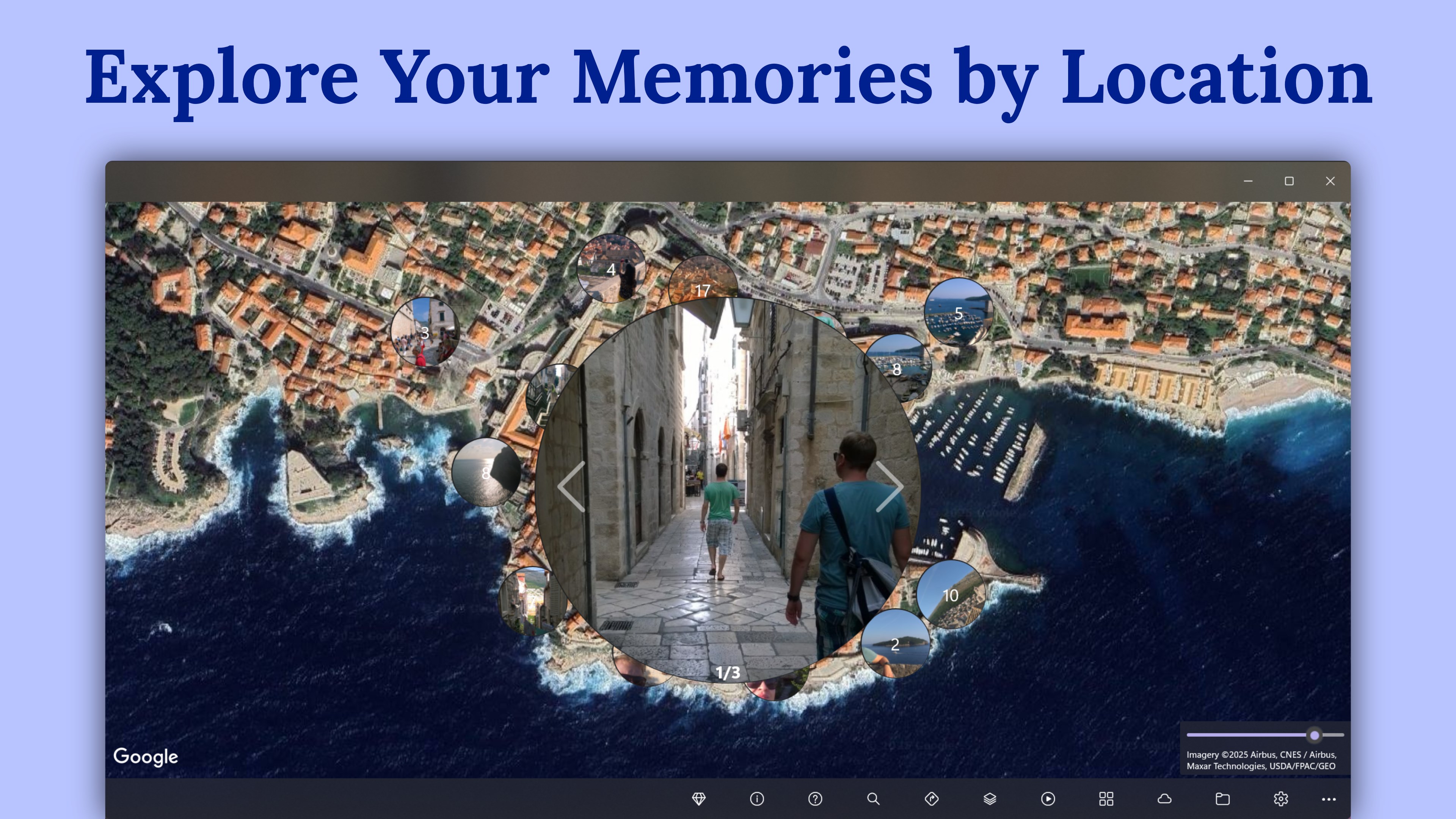
• Automatically group nearby media so dense trips and shoots stay easy to browse
• Sort media and filter by date, photos, videos, or both
• Switch map layer styles to help identify locations while reviewing or placing geotags
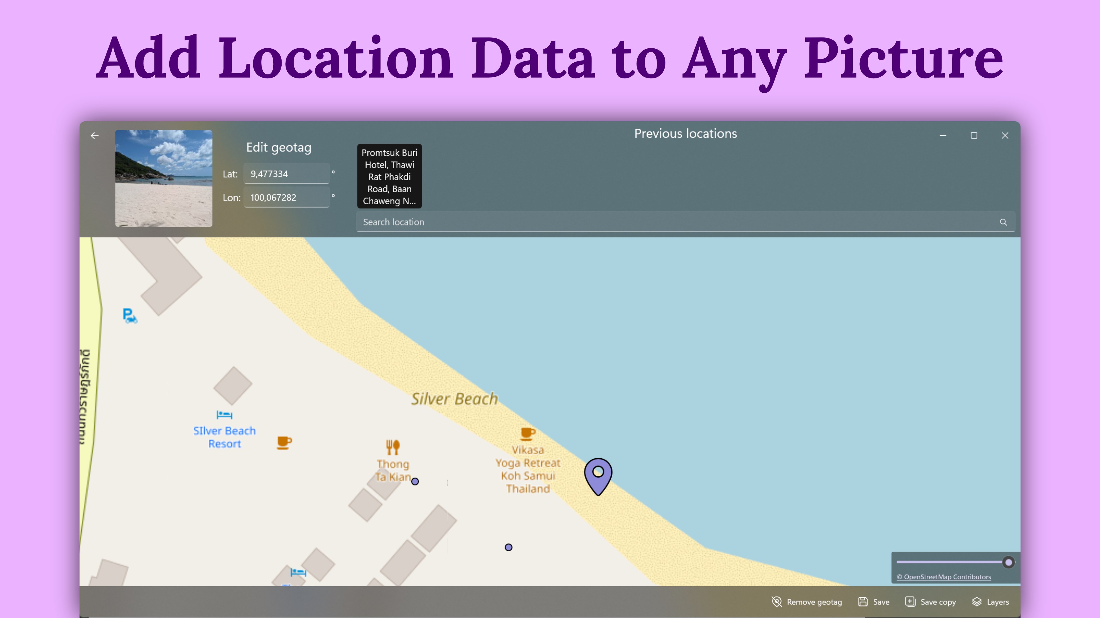
Add, edit, or remove GPS locations
• Add GPS to photos and videos by placing them on the map or entering coordinates
• Correct a wrong photo location, remove geotag data, or reuse a previous geotag location
• Find files without GPS location data so you can clean up imported cameras, archives, and project folders
• Read and write GPS position metadata through ExifTool
Geotag with GPS tracks
• Import GPX, KML, and KMZ track files
• Auto-geotag selected files by matching timestamps with imported GPS tracks and optional time offsets
• Export location data as GPX
Works with common media formats
GeoPhoto reads JPG/JPEG, PNG, TIFF, HEIC/HEIF/HIF, ARW, CR2, CR3, NEF, ORF, RAF, RW2, RWL, SRW, DNG, MP4, MOV, and AVI files.
Free to use, with optional Pro
GeoPhoto is free to use. Some advanced features require GeoPhoto Pro, a one-time purchase through your Microsoft account. Pro unlocks unlimited photos and videos on the map, unlimited geotagging, GPS track import and automatic track-based geotagging, GPX export, and ad removal.
GeoPhoto SkyView is a separate subscription that includes all GeoPhoto Pro features plus satellite, hybrid, and premium map layers.
Play Store URL for "GeoPhoto - Photo Map & GPS Geotagging"
If there is a version of this app for iOS/Mac or Windows we don't know about, paste the store link here — we'll auto-detect the store.
How to find the URL:1. Open the app in its store. 2.In the App Store app: tap the Share icon → “Copy Link”. In the browser: copy the URL from the address bar — it contains apps.apple.com/…/id… or apps.microsoft.com/detail/…. 3. Paste it here.
Paste the original link from the Apple App Store or Microsoft Store. We fetch all details automatically.
How to find the URL:
1. Open the app in its store. 2.In the App Store app: tap the Share icon → “Copy Link”. In the browser: copy the URL from the address bar — it contains apps.apple.com/…/id… or apps.microsoft.com/detail/…. 3. Paste it here.
Android apps can only be listed by their developer.



 GPS Map+
Search locations, navigate and share your position
 Google Earth
Explore satellite imagery, 3D terrain and interactive maps
 GPS Maps Navigation
Real-time GPS tracking with navigation and route planning
 GPS Routes
Display GPX and KML routes on map with GPS position
 GPS Routes Finder
GPS navigation with live tracking and nearby places search
 Polarsteps
Plan, track and share your travels with friends